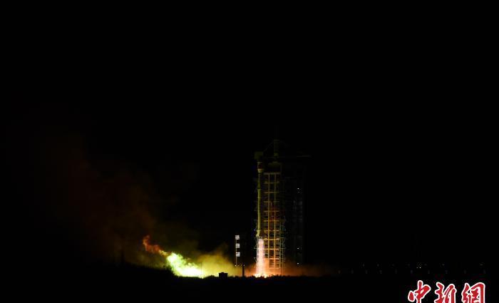
At 7:44 a.m. on January 26, China successfully launched the Land Exploration No. 1 01 Group A satellite at the Jiuquan Satellite Launch Center with the Long March 4 C carrier rocket. Photo by Yan Pengfei
China News Network Haihai January 26 Title: Understanding the "Land Exploration No. 1 Group 01 A Satellite": China's largest SAR satellite in orbit
Author Zheng Yingying Ma Shuaisha
On the morning of January 26, Beijing time, China successfully launched the "Land Exploration No. 1 01 Group A Satellite" using the Long March 4 C carrier rocket at the Jiuquan Satellite Launch Center. The Star Arrow was developed by the Eighth Academy of China Aerospace Science and Technology Corporation.
The "Land Exploration No. 1 01 Group A Star" can achieve millimeter-level deformation measurements on the surface in space thousands of miles away, which will help the early identification and monitoring of geological disasters. To understand it, you can look at the following sets of keywords:
"There are brothers": two identical
The Land Exploration I 01 Group consists of two identical satellites, A and B, which are not "only children", and whose brother, the exact same B star, is scheduled to be launched at the end of February this year.
After the double stars are in orbit, they will jointly build the world's first L-band dual constellation for surface deformation interferometry applications, and realize repeated orbit differential interferometric deformation measurement and interferometric terrain mapping respectively in the mode of "follow-up flight" and "orbit".
"Can penetrate": Penetrates the trees
"Land Exploration No. 1 01 Group A Satellite" has filled a number of gaps in the field of China's L-band synthetic aperture radar satellites. Its "penetrating power" is worth mentioning.
The penetration ability mainly depends on the wavelength. The wavelength of L-band radar is about 23 cm, which has better penetration of vegetation and can adapt to the characteristics of China's mountainous areas and wide forest coverage.

On January 26, China successfully launched a land exploration 1 Group A satellite with the Long March 4 C carrier rocket. The picture shows the rocket hoisting data map. Photo by Yan Pengfei
"See clearly": the caliber is the largest
In addition to "being able to penetrate", to be competent for the position of "looking at the earth with millimeter accuracy beyond thousands of miles", satellites must also have "golden eyes of fire".
The "Land Exploration No. 1 Group 01 A Satellite" running into space carries a SAR (SAR referral: synthetic aperture radar) antenna with a total area of more than 33 square meters, and is currently China's largest SAR satellite in orbit. Its ground observation resolution reaches the meter level, and the deformation measurement accuracy reaches the millimeter level.
The launch of the "Land Exploration No. 1 Group 01 A Satellite" will realize the autonomous and controllable control of China's differential interference SAR data, and significantly reduce the dependence of its geological, seismic, emergency and other industry applications on foreign SAR data.
When the "Land Exploration No. 1 Group 01 B Star" is launched, the A and B double stars will form a "large-caliber combination" in space, adding a sharp weapon to China's geological disaster monitoring. (End)