On February 9, the Land Exploration No. 1 Group 01 A satellite achieved on-orbit imaging for the first time through the synthetic aperture radar payload carried, and the image quality was excellent, and the China Remote Sensing Satellite Ground Station affiliated to the Institute of Aerospace Information Innovation of the Chinese Academy of Sciences successfully received the satellite data transmitted by the satellite, and the received data were processed normally.

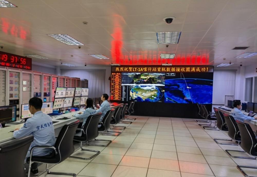
Kashgar station first track data receiving task work site
The Land Exploration 1 01 Group A satellite was launched at the Jiuquan Satellite Launch Center on January 26, 2022, and the satellite successfully entered the scheduled orbit. At 17:55 and 19:34 on February 9, the Miyun Station and Kashgar Station of the China Remote Sensing Satellite Ground Station successfully tracked and received a total of 36.66GB of downlink data from the satellite. This is the first time that the satellite has made downstream observations of the launch of the load.
The Land Exploration I Group 01 satellite is the first satellite model mission launched in the National Civil Space Infrastructure Medium and Long-term Development Plan (2015-2025). The Land Exploration 1 Group 01 A star will form a constellation of several kilometers away from the future Launch of Land Exploration 1 Group 01 B star, and the ground will be imaged in coordination through the dual-base synthetic aperture radar interference system.
Land Exploration No. 1 Group 01 A star was launched for the first time to obtain images of the Haixi region of Qinghai Province
The satellite synthetic aperture radar payload was developed by the space academy load development team. These payloads can be unconstrained by light and climatic conditions, take high-resolution microwave photos around the clock, and even obtain masked information through shallow surfaces or sparse vegetation, which is irreplaceable and unique in the field of Earth observation. The relevant responsible comrade said that the technical difficulty of the satellite's dual-base interference system lies in how to ensure that the two satellite payloads several kilometers away are phase synchronized, "just like letting two people sit on a parallel, high-speed spacecraft and achieve consistent heartbeat in a trillionth of a second."
After more than ten years of technical research, the research and development team has realized the non-interrupt phase synchronization technology for the first time in the world, and combined with the phase calibration technology, the phase synchronization accuracy of the two split synthetic aperture radar systems is an order of magnitude higher than that of similar foreign technologies, ensuring the realization of meter-level accuracy elevation measurement. In addition, the team has achieved technological breakthroughs such as multi-mode hybrid polarization and multi-degree-of-freedom encoded transmitted signals, which not only have multi-mode polarization imaging capabilities, but also greatly improve the imaging width and visibility.
The relevant responsible comrade of the Aerospace Academy said that the land exploration No. 1 01 satellite system will become the first synthetic aperture radar satellite with single-orbit multi-mode polarization interferometry imaging capabilities in the world, which can measure forest biomass, provide effective technical means for carbon cycle monitoring, and further support the implementation of the national "double carbon" strategy.