<h2 class="title">
</h2>
To preserve the 6,800-acre landscape of Austin Shield Ranch and connect it to the next generation of families and communities, the Master Planning team modeled and categorized the complex, natural, and culturally significant systems of iconic landscapes in a pioneering way. Using state-of-the-art digital tools, highly clear and openly shared data to the public, and data collected on site with professionals, the planning team and farmer families conducted an in-depth "reading" of the regional landscape and developed a highly coordinated network of new features.
The master plan is widely applicable to other landowners in the southwestern United States and Texas, helping them implement sustainable land development, protecting and enhancing land resilience in highly climate-sensitive, arid landscapes.
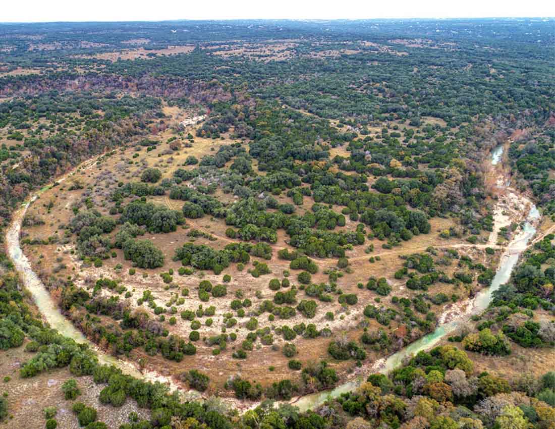
▽ Aerial view
▽ Farm history

Located in the southwestern United States (98 degrees meridian), Shield Ranch is considered a "danger zone" due to the extreme effects of climate change and population growth. Large-scale storms can cause prolonged droughts in the region and will continue to intensify with climate change. Geographically, the ranch is located in the Balcones Gorge and Barton River Basin of the Edwards Plateau (30c Ecoregion). The watershed's water flows into Edwards' aquifer recharge belt, providing domestic water for more than 2 million people, but is also affected by the hydrological conditions of the Shield ranch and large-scale land-use activity nearby. Based on resilient planning, the program uses physical interventions and long-term management measures to alleviate these pressures and attempts to address a range of problems faced by residents of the Texas Hills, including habitat loss, construction of public infrastructure and roads, water scarcity, poor water quality, fire risk, light and noise pollution, and degradation of the visual domain.
▽Site status
▽ Texture and evolution: Vegetation, water bodies and complex geology are the most important features of the landscape
▽ System design
As with all sustainable planning and design schemes, these goals are achieved on the premise of a full understanding and respect for the natural and cultural systems of the landscape. The Shield Ranch Master Plan first went through a 6-month "exploratory phase" with in-depth research, data collection, listening and learning from the site. In the process, the planning team analysed the regional environment and potential external threats to the pastures; clarified the status of natural resources (involving geology, hydrology, wildlife and habitats, undeveloped areas, land management and water applicability); assessed cultural resources (including prehistoric sites, historical and cultural landscapes, existing infrastructure, and site and landscape assessments); and established working groups of family members and staff for each functional area (focusing on objectives, functions, audiences, a common understanding of sustainable operational and management strategies), and worked with family members to develop a basic framework for the future division of land ownership.
Ecohydrogeological Planning Framework: Based on GIS data and information from exchanges with local scientists and policymakers, specific design guidelines for Shield Ranch were developed: 1) variable geological features (including the protection of stepped formations and the insertion of high-performance "drainage pipes"); 2) improved water quality; and 3) provided high-quality habitat for two endangered species in the site (the gold-cheeked black-backed forest warbler and the black-capped warbler).
▽ Protect culture
▽ Immersive experience
Editor's note: Through careful design, the designer repeatedly tests the rationality of the design of the functional area of the farm, so that the future of the farm has a clear integrity, anticipates the threats of the future, and makes the design of the entire farm more reasonable. For more cases of rural planning and design, ecological farms, and architectural design, please click to follow this headline number.
Please pay attention to this headline number, we will update the high-quality project introduction and video display every day, get more nature education, ecological architecture, ecological design, ecological planning, rural planning, pastoral complex, architectural design and other original cases, if you have any ideas or insights on this article, welcome to leave a message in the comment area
Source website: www.gooood.com
Translation: WAQI