The National Climate Center expects a weak to moderate-intensity La Niña event this winter. Simply put, cold air is frequent and strong, and the temperature may be low in most parts of the central and eastern regions.
So don't be "deceived" by the heating after the previous cold waves, after all, the heating in winter is only to pave the way for cooling. In the next week, two streams of cold air will pull down the temperature one after another, and winter is just around the corner!
【Live】
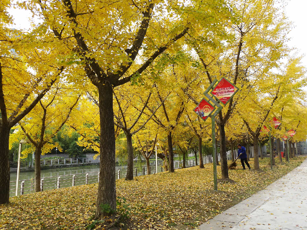
At 18.3 °C, Yangcheng was still autumn
In the second half of last week, the feeling of the public was, "Morning and evening cold and warm at noon, the feeling of two seasons a day, it is really easy to catch a cold." Several cold snaps are a routine: a cold air, come, cool down wildly; go, follow the heating up for several days.
As a result, the highest temperature in the main urban area on Saturday has risen to 17.2 ° C, and many citizens unexpectedly feel "hot" when they enjoy autumn outdoors.
On Sunday, the outdoor sun is abundant and the temperature is pleasant, the highest temperature in the main city has risen to 18.3 ° C, and the fierce winter cold wave has lasted for three days, and the day is still autumn.
However, every time it warms up, it is also paving the way for cooling. Some experts have analyzed that after the upcoming new wave of cold air crossing the river, Jiangnan is expected to enter the winter on a large scale.
【Analysis】
Weak to moderate intensity "La Niña" this winter
Over the weekend, the National Climate Center determined that the equatorial Middle Eastern Pacific Ocean would enter La Niña in October 2021 based on the latest SST monitoring data, and it is expected that a weak to moderate-intensity La Niña event may be formed in winter.
Forecasts suggest that la Niña's state will peak between December 2021 and January 2022. From the perspective of historical data, the cold air activity affected by the "La Niña Year" in China is more frequent than usual, and the intensity is strong, and the temperature in most parts of central and eastern China is lower than that of the same period of the year.
Does this mean that this year is a "cold winter"? Experts especially pointed out that the "La Niña Year" in china's winter central and eastern regions of the temperature is often low, but in the context of global warming, the factors affecting China's winter climate are more complex, in addition to the La Niña event, there are also Arctic sea ice melting, Eurasian snow changes and other sea temperature anomalies in other sea areas.
【Forecast】
In the new week, cold air came in waves
The weather is hot and cold, and many flowers are also blooming "at first". Experts believe that the blossoming is "abnormal" and is indeed affected by the weather. Recently, there have been two sharp drops in temperature, and then the temperature rise is more obvious, the light is also very sufficient, in line with the conditions for some plants to flower, so many plants will mistakenly think that the climate "winter and spring transition" has been completed, so the anti-seasonal flowering. Of course, with another breath of cold air, these flowers will not be "confused".
The Yangzhou Meteorological Observatory issued a cold wave warning, a high wind warning and a weather forecast at 16:00 on November 28. There is a strong cold air in the north that is moving east to south, and it is expected to affect the city from north to south on the night of the 29th. Affected by it, the city's temperature will drop significantly, the 48-hour minimum temperature drop in most parts of the city can reach 8 ~ 10 °C, the lowest temperature in the early morning of the 1st 0 °C to -1 °C. The lowest temperature appeared on the morning of the 2nd: -1 ~ -3 ° C. During the period of cold air influence, from the night of the 29th to the day of the 30th, there will be a northerly wind of 5-7 on land and 7 to 9 on the surface of rivers and lakes. In addition, after this round of cold air, from December 3 to 4, there will be a cold air affecting China, the temperature in most areas will drop by 6 to 10 ° C, and the local cooling range may reach more than 12 ° C. The public needs to pay attention to the nearby forecast and do a good job in cold and warm work in time.
Reporter Chen Jiewen
