After stretching for thousands of kilometers from west to east, the Himalayas stopped at Nanga Bawa Peak, which is 7,782 meters above sea level. The mountain continues to extend southeastward, and in the Bersula Ridge area that connects the Hengduan Mountains, the Rivers of Chayu, Dulong, nu and other rivers tear open the mountains and rush east from between the deep mountain canyons. As a result, the southeastern part of Tibet in China presents a unique geographical unit: "Tibet Jiangnan" Chayu.
Scenery of the Chayu River Valley. Xinhua Daily Telegraph reporter Huang Huo took a photo
Chayu, meaning "land of flaky stones" in Tibetan. Here the mountains are towering, the river valleys are long, and the forests are thousands of miles; the climate here is warm and pleasant, the Sangqu River is babbling, the lofty mountains are green, and the subtropical primeval forest scene is like a scene. Nature's ingenuity has made Chayu a place of low altitude, abundant precipitation, and mild seasons in Tibet, and at the same time is famous for its deep mountains and valleys and difficult roads, and most of the branch of the Tea Horse Ancient Road- C (C Zhongluo) Cha (Chavalon) Cha (ChaYu) Road is within its territory. Cha Yu, in addition to being amazing, adds a bit of yearning.

Scenery of the Chayu Water Mill Rock Canyon. Xinhua Daily Telegraph reporter Hou Jie took a photo
The temptation of the canyon among the dense forests
Surrounded by mountains such as the Demura Snow Mountain and the Bersura Ridge, chayu meets the warm and humid air from the Indian Ocean and the cold air of the plateau, forming a landscape of "a mountain with four seasons and ten miles of different days". The average altitude here is 2800 meters, the lowest altitude is only more than 600 meters, the terrain slopes from northwest to southeast, vertical drop is very different, is a typical alpine canyon and mountain valley landform.
Chayu Water Mill Canyon. Xinhua Daily Telegraph reporter Hou Jie photographed
Meyzm Peak on the Merry Snow Mountain against the backdrop of clouds. Xinhua News Agency reporter Lin Yiguang photographed
The style of the new village of Xiachayu Town, Chayu County, Nyingchi City, Tibet. Xinhua Daily Telegraph reporter Huang Huo took a photo
This is the scenery of the southwest snow-capped mountains on the lakeside reflecting the Wu Lake. Photo by Xinhua News Agency reporter Zhang Ailin
The horse gang walks on the Tea Horse Trail between the cliffs. Photo by Yang Zongyou, Xinhua News Agency
This is a panoramic splicing photo of the first bay of the Nu River taken aerialally in Bingzhongluo Town, Dulong Nu Autonomous County, Gongshan, Yunnan Province. Xinhua News Agency reporter Yin Gang took the photo
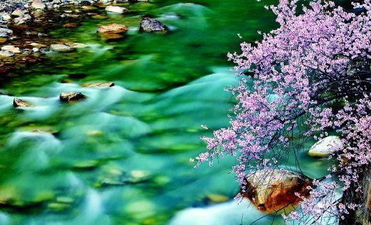
The Chayu River, which flows all year round (photo taken in 1963). Photo by Xu Bihua, Xinhua News Agency
The new look of Chayu County. Xinhua Daily Telegraph reporter Huang Huo took a photo
Hand-held pilaf. Xinhua Daily Telegraph reporter Huang Huo took a photo
The old man of Xiongjiu New Village, Chayu County. Xinhua Daily Telegraph reporter Huang Huo took a photo
A villager picking tea in Kadi Village. Xinhua Daily Telegraph reporter Hou Jie took a photo
The subtropical canyon climate, coupled with the large number of terraces, has created the characteristic alpine organic tea of Chayu. Since 2018, Chayu County has begun to vigorously develop the tea industry, and as of now, the tea planting area in the county is about 12,000 mu, which has supported a new world of farmers' income, rural prosperity and poverty alleviation.
Chayu is a "ruyi treasure land" hidden in the deep mountains and dense forests, and is a bright pearl on the Prochacha line of the Tea Horse Ancient Road. Bathed in the spring breeze of the new era, Chayu County has rationally planned its industrial layout, and continuously promoted key industries such as high-quality fruit planting, tea planting, aquaculture, and ecological tourism, laying a solid foundation for building a well-off society, and is striding towards the future.