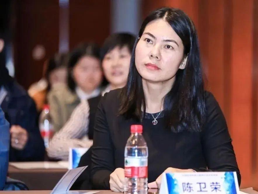
Today is the "March 8th" Women's Day, to introduce an extraordinary woman working in an ordinary position in aerospace - Chen Weirong.
"In China, there are 200,000 people engaged in the aerospace industry, and Chen Weirong is just one of the ordinary people." Recently, Chen Weirong of the China Resources Satellite Center, a subsidiary of China Aerospace Science and Technology Corporation, was an outstanding youth representative of China's aerospace industry, and his deeds were broadcast on the Asia-Africa regional language program of the Central Radio and Television Corporation.
The broadcast of this program has enabled China Aerospace to make contributions to telling China's story and shaping China's good image, and has received good response from domestic and foreign societies.
Chen Weirong is a remote sensing satellite operation service
A good hand on the front,
Within the strategize, but can remotely control space,
Use wisdom to build a new model of remote sensing satellite operation services.
She is also a pioneer in promoting remote sensing application services to the outside world.
Innovative business publicity method carrier,
Amaze the world with a "bird's-eye view of space",
Constantly narrowing the distance between remote sensing satellites and ordinary people.
She is also a good mother in the eyes of children,
Do everything yourself,
Sow the ideal of serving the country with space by example.
As the deputy director of the Satellite Operation Department, Chen Weirong won the title of "Pacesetter of Construction Merit" in 2018-2019 by the trade union directly under the Aerospace Science and Technology Group. At the just-concluded Beijing 2022 Winter Olympics, Chen Weirong led the team to complete the monitoring and guarantee of remote sensing satellite air quality in Beijing and Zhangjiakou.
In 2005, Chen Weirong graduated from the Institute of Remote Sensing Applications of the Chinese Academy of Sciences (now the Institute of Aerospace Information Innovation, Chinese Academy of Sciences). With the love for the motherland and the yearning for the aerospace industry, she did not hesitate to choose to enter the space system and became an ordinary data processing engineer in the Technical General Department at that time, and since then she has opened a new journey of "Muyu Stargazing".
From a fledgling young girl to a vigorous workplace elite, Chen Weirong has successively engaged in THE RESEARCH OF SAR (Synthetic Aperture Radar) data processing algorithm, satellite payload management and mission planning system design, ground system construction, ground system operation and user service, etc., led the construction of the first multi-satellite multi-task payload management system in the mainland, formulated the national standard for data distribution and user service of the mainland land observation satellite, and created the rapid emergency service response mechanism and process of remote sensing satellites. Innovative remote sensing satellite data service model.
Persistence, ordinary posts achieve extraordinary careers
Due to his excellent performance, at the end of 2009, Chen Weirong began to serve as the director of the department's user service office, mainly responsible for providing business services to ministries and industry users. Up to now, it has served 27,000 users, 20 industry ministries and commissions and 31 local sub-centers across the country, distributed more than 61 million scenes of data, implemented more than 400 domestic and foreign disaster and accident emergency services, and achieved user satisfaction of more than 96% for many years.
Behind the remarkable achievements, it is inseparable from Chen Weirong's unremitting efforts for more than 10 years and his persistent love for the cause of remote sensing. Talking about the most memorable things in her work, she mentioned the 2013 Earthquake in Ya'an, Sichuan.
At that time, due to the seriousness of the disaster, the local traffic was blocked, and the communication failure, remote sensing satellite data became almost the most important and important means of understanding the disaster.
In the face of the urgent requirements of various ministries and commissions of the state, Sichuan Province and the front line of rescue, under the leadership of the company's leaders, Chen Weirong, as a party member, stepped forward and quickly set up a red emergency service team with his colleagues, and on the day of the earthquake, the pre-disaster and post-disaster image data was provided to the relevant ministries and commissions, and for the first time, the disaster data sharing channel was publicly released to the public.

As if "overnight fame", the phone calls for image data demand continue to come, and the powerful function of "Sky Eye" is gradually understood by the world.
In order to provide accurate data to all sectors of society in a timely manner, Chen Weirong gave full play to the exemplary role of party members, led the entire team to strive to overcome a series of difficulties such as imperfect process mechanisms and shortage of personnel, and took turns on duty 24 hours a day.
In the end, they provided data to 25 units from 12 ministries and commissions with more than 800 scenes, providing important support and basis for emergency rescue and disaster relief, post-disaster assessment and post-disaster reconstruction, and more than 10 units sent thank-you letters afterwards.
"In that half a month, every day was like going to the battlefield, and every day there were new battles, but thanks to this emergency service, it laid a particularly good foundation for the establishment of the follow-up remote sensing satellite emergency service mechanism process." Chen Weirong said.
After this experience, Chen Weirong and her team, on the basis of summarizing experience, constantly improved the process and service mechanism, innovated the mainland remote sensing satellite emergency service model, from the previous passive service to the integrated, full-process, active information service model, disaster service from simple post-disaster monitoring to pre-disaster early warning, disaster monitoring and post-disaster assessment combined with a full range of services.
At the same time, thanks to this experience, the "red" team led by Chen Weirong is also more united and powerful, indestructible.
"For me, every time a user sends a thank-you note or a pennant, even if it's just a thank-you call or text message, it makes me feel like my efforts are worth it." With the joint efforts of everyone, our domestic data is more and more widely used and has a greater influence, which really makes me proud. Speaking of this, Chen Weirong sighed infinitely.
Selfless dedication, hard work to write a beautiful chapter
In addition to emergency work, Chen Weirong also took the initiative to ask for help, undertook the establishment and operation of the satellite public account of "China Land Observation Satellite Data Center", and released the results of domestic land observation satellite images in combination with current events, and the content was reprinted by CCTV, People's Daily, Xinhua Net and other media many times.
During the 2020 new crown pneumonia epidemic, with her professional sensitivity and job responsibilities, she asked the leaders for instructions in a timely manner, asked for the organization and coordination of high-resolution satellite data collection for Wuhan, produced a special introduction on the construction of Vulcan Mountain, Leishen Mountain, and Fang Cabin Hospital, publicized it to the society through the WeChat public account, and many media scrambled to reprint it, boosting the firm confidence of the people of the whole country to win the battle against the epidemic.
In her work, Chen Weirong is conscientious of her duties, but in life, she laughs and says that she is not a particularly "qualified" mother.
Recalling the days when she returned to work after giving birth to her second child, she still feels a little indebted to her children. In order to let more people understand and use remote sensing satellites, she has the unshirkable responsibility to publicize and promote remote sensing satellite application services as an important content, give up her rest time many times, and carry out work under the pressure of the epidemic.
Once, in order to cooperate with an important remote sensing application project, Chen Weirong had to put down the children who were waiting to be fed to go to work in other places, resist the family's incomprehension, overcome physical discomfort and inconvenience in life, and ensure that the work was not affected, through thousands of miles to "deliver milk", to ensure the child's "rations".
For women in the workplace, to do a good balance between work and life, they are destined to pay more.
On the one hand, high-intensity, high-pressure work, on the other hand, everything is detailed, hands-on life, Chen Weirong constantly changes roles, but also explores the "perfect model" of combining work and life.
When she works from home, she will let her son be around, tell him stories about satellites and remote sensing by the way, and even sometimes "entrust" him to help check the data and do some simple things, and the child is very happy.
"I think this is a kind of subtle inheritance, my son once said, in the future, I also want to become an astronaut, play rockets, build satellites!" 」 When Chen Weirong mentioned the child, his face was full of happiness and infinite vision and yearning for the future.
Text, photo/Resources Satellite Centre