
Analysis of the characteristics of typhoons affecting the Bohai Rim region in the north and its typical heavy rainstorms
For full text, please download it on THE PC Address:
http://www.hyyb.org.cn/Magazine/Show.aspx?ID=3329
Reading small notes
Author: Yang Xiaoliang1 Yang Min2 Long Xuanxue 1 Yang Lu Yuci 1 Wang Haichuan 1 Yang Yue3
Units: 1. Hebei Meteorological Observatory, Shijiazhuang 050021, China;
2. Hebei Meteorological Administrative Technical Service Center, Shijiazhuang 050021, China;
3. Zhangjiakou Meteorological Bureau, Zhangjiakou 075000, China
Classification number: P444
Publication Year, Volume, Issue (page number): 2021.38,Issue 4 (99-106)
Abstract: The best path data of tropical cyclones from 1949 to 2019, the ground precipitation data of Beijing-Tianjin-Hebei and the re-analysis data of NCEP were used to analyze the northern typhoons affecting the Bohai Rim region and various typical heavy rainstorms. The results showed that there were 47 cases of typhoons affecting the Bohai Rim region between 71 a, with an average of about 6.6/10 a, mainly from late July to August, with the most frequent landfalls in the coastal areas of Fujian, Zhejiang and southern Jiangsu, and the landing turning point was generally located east of 115 °E. Classified according to the classification of landing congestion, landing northbound, landing turn, coastal path and westward turning path, the landing congestion type heavy rainstorm area is mainly located in front of the Taihang Mountains in southern Hebei; the landing northbound, landing turn or coastal path heavy rainstorm is mainly located in the central and eastern part of Beijing-Tianjin-Hebei, and the heavy rainfall area is closely related to the western Pacific sub-high, westerly wind belt system, low-altitude rapids and terrain.
Keywords: typhoon northbound; heavy rain; path
Abstract:Using the optimum route data during 1949 to 2019, precipitation data in Beijing-Tianjin-Hebei region and NCEP reanalysis data, the characteristics of northward-moving typhoons and various typical heavy rainfalls affecting the Bohai rim region is analyzed in this paper. The results show that there are 47 typhoons moving northward and affecting the Bohai Rim Region in the recent 71 years with an average frequency of 6.6 per decade. The typhoons mainly generate between late July and August, and make landfall in Fujian, Zhejiang and southern Jiangsu province with the turning point of landfall east of about 115° E. The typhoon routes can be classified into 5 different types, which are blocking after landing, moving northward after landing, veering after landing, moving along the coast and moving westward. For the type of blocking after landing, the heavy rainfall mainly occurs in front of Taihang Mountains in southern Hebei province. For the rest of the types except moving westward, heavy rainfall tends to be most common over the middle east of the Beijing-Tianjin-Hebei region. The region of the heavy rainfall is also closely affected by the West Pacific Subtropical High, the westerlies, low-level jet stream and topography.
Key words:northward-moving typhoon; heavy rainfall; route
Readers can also go through the official account menu bar
The "Related Knowledge" section enters
Current Catalogue and Past Publications
View the detailed journal content
Marine environment forecast for the next two days
Anticipate tomorrow,
There are light waves to medium waves of 0.8 to 1.8 meters in the northern part of the Bohai Sea, the Yellow Sea and the East China Sea;
In the southern part of the East China Sea, there is a 1.5 to 2.3 meter middle wave area in the waters near the Diaoyu Islands;
The Taiwan Strait and the northern part of the South China Sea have 2 to 2.6 meters of middle wave to the Big Wave area;
There are medium waves of 1.3 to 1.8 meters in the southern south of the South China Sea;
The Gulf of Tonkin has 0.8 to 1.5 meters of light to medium waves;
The Bashi Strait and the Midwave Area east of Taiwan are 1.5 to 2.3 meters away.
Anticipated the day after tomorrow,
The Great Wave Area in the Taiwan Strait and the northern part of the South China Sea is maintained, with a wave height of 2 to 3 meters.
Dynamic map of numerical forecast of waves in the Northwest Pacific Ocean from October 31 to November 4
Sea conditions in the beautiful island waters
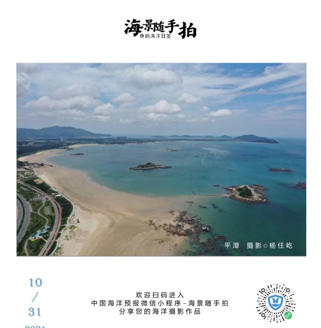
There are 2.2 to 2.3 meters of medium waves in the waters around Pingtan Island, Meizhou Island, Dongshan Island, Nan'ao Island, Wanshan Islands, Chuanshan Islands and Woody Island, which are not suitable for boat travel;
There are 1.8 meters of medium waves in the waters near Diaoyu Island and Demarcation Island, and there are medium waves of 1.3 to 1.7 meters in the waters near Changdao Island, Dachen Island, Dongtou Island, Nanji Island, Ramshan Island, Hailing Island, Nansan Island, Donghai Island, Wuzhizhou Island, Huangyan Island, and Fiery Cross Reef, which are more suitable for boat travel;
The seas around the other beautiful islands in china are all light waves, and the sea conditions are good, which is very suitable for boat trips and islands.
Beautiful Islands refers to the following 35 islands:
Juehua Island, Changshan Islands, Bodhi Island, Changdao Island, Liugong Island, Lingshan Island, Qinshan Island, Liandao Island, Chongming Island, Shengsi Archipelago, Daishan Island, Dongji Island, Putuo Mountain, Dachen Island, Yuhuan Island, Dongtou Island, Nanji Island, Chengshan Island, Sandu Island, Pingtan Island, Meizhou Island, Dongshan Island, Diaoyu Island, Nan'ao Island, Wanshan Island, Chuanshan Island, Hailing Island, South Three Islands, Donghai Island, Weizhou Island, Demarcation Island, Wuzhizhou Island, Yongxing Island, Huangyan Island, Yongxia Reef.
More coastal tourism forecasts in China Ocean Forecasts
On the PC side, you can log on to the China Marine Forecast Network http://www.oceanguide.org.cn/IndexHome
Mobile terminals can use the China Ocean Forecast WeChat Mini Program
Enter the "China Ocean Forecast" WeChat Mini Program