
影響環渤海地區的北上台風特征及其各類典型大暴雨過程分析
全文請用PC端下載下傳 位址:
http://www.hyyb.org.cn/Magazine/Show.aspx?ID=3329
讀書小筆記
作者:楊曉亮1楊敏2隆璘雪1楊呂玉慈1王海川1楊玥3
機關:1. 河北省氣象台, 河北 石家莊 050021;
2. 河北省氣象行政技術服務中心, 河北 石家莊 050021;
3. 張家口市氣象局, 河北張家口 075000
分類号:P444
出版年·卷·期(頁碼):2021·38·第四期(99-106)
摘要:利用1949—2019年熱帶氣旋最佳路徑資料、京津冀地面降水資料和NCEP再分析資料,對影響環渤海地區的北上台風及各類典型大暴雨過程進行分析。結果表明:71 a間影響環渤海地區的北上台風共47例,平均約6.6個/10 a,主要出現在7月下旬—8月,在福建、浙江到江蘇南部沿海登陸次數最多,登陸轉向點一般位于115°E以東。按登陸填塞、登陸北上、登陸轉向、沿海路徑和西折路徑進行分類,登陸填塞類大暴雨區主要位于河北南部太行山前;登陸北上、登陸轉向或沿海路徑大暴雨主要位于京津冀的中東部,大暴雨落區與西太平洋副高、西風帶系統、低空急流和地形關系密切。
關鍵詞:北上台風;暴雨;路徑
Abstract:Using the optimum route data during 1949 to 2019, precipitation data in Beijing-Tianjin-Hebei region and NCEP reanalysis data, the characteristics of northward-moving typhoons and various typical heavy rainfalls affecting the Bohai rim region is analyzed in this paper. The results show that there are 47 typhoons moving northward and affecting the Bohai Rim Region in the recent 71 years with an average frequency of 6.6 per decade. The typhoons mainly generate between late July and August, and make landfall in Fujian, Zhejiang and southern Jiangsu province with the turning point of landfall east of about 115° E. The typhoon routes can be classified into 5 different types, which are blocking after landing, moving northward after landing, veering after landing, moving along the coast and moving westward. For the type of blocking after landing, the heavy rainfall mainly occurs in front of Taihang Mountains in southern Hebei province. For the rest of the types except moving westward, heavy rainfall tends to be most common over the middle east of the Beijing-Tianjin-Hebei region. The region of the heavy rainfall is also closely affected by the West Pacific Subtropical High, the westerlies, low-level jet stream and topography.
Key words:northward-moving typhoon; heavy rainfall; route
讀者也可以通過公衆号菜單欄
“相關知識”闆塊進入
《當期目錄》和《過刊浏覽》
查閱詳細期刊内容
未來兩天海洋環境預報
預計明天,
渤海、黃海、東海北部有0.8到1.8米的輕浪到中浪;
東海南部、釣魚島附近海域有1.5到2.3米的中浪區;
台灣海峽、南海北部有2到2.6米的中浪到大浪區;
南海南部有1.3到1.8米的中浪;
北部灣有0.8到1.5米的輕浪到中浪;
巴士海峽、台灣以東洋面有1.5到2.3米的中浪區。
預計後天,
台灣海峽、南海北部的大浪區維持,浪高2到3米。
10月31日~11月4日西北太平洋海浪數值預報動圖
美麗海島海域海況
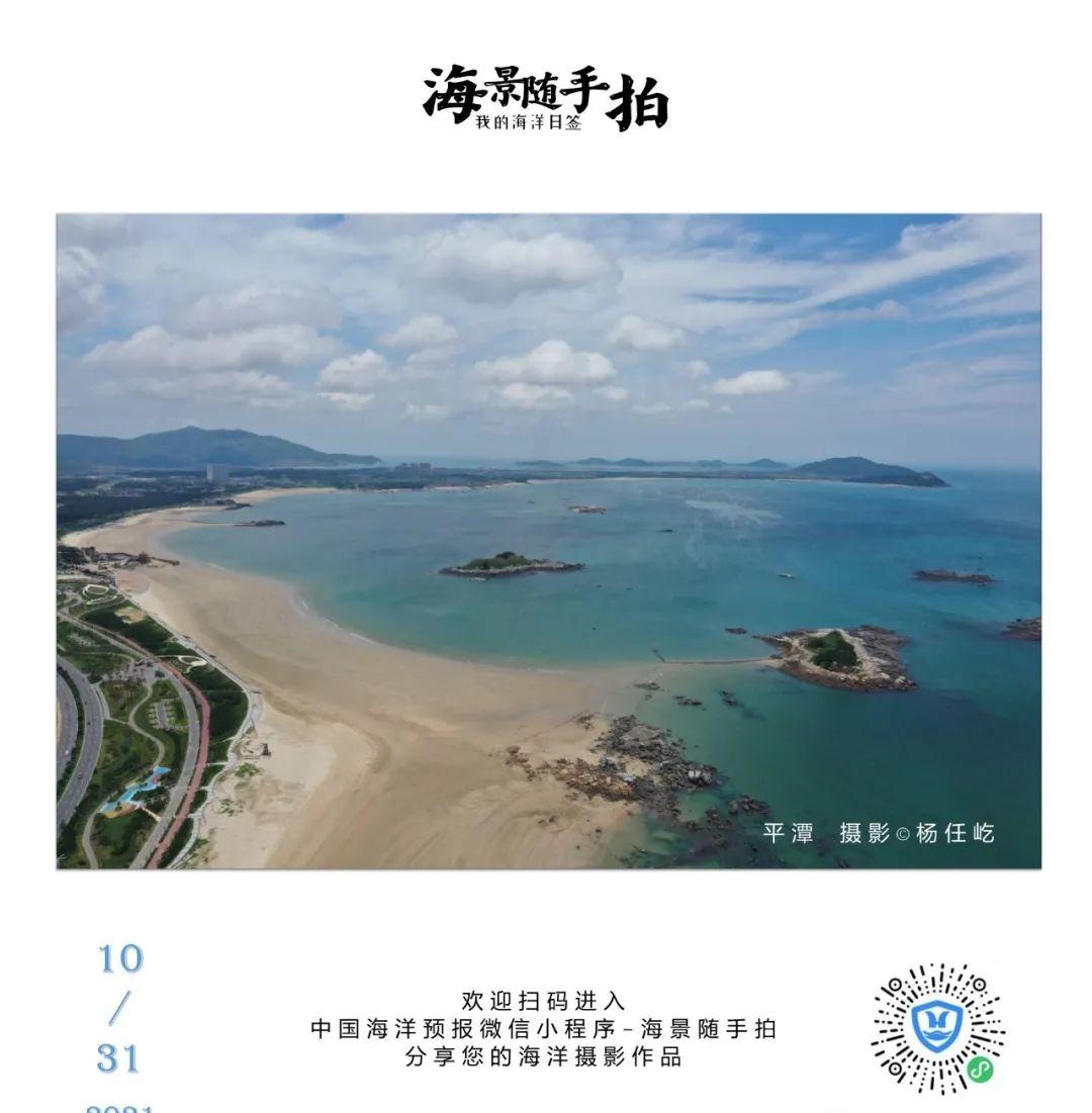
平潭島、湄洲島、東山島、南澳島、萬山群島、川山群島、永興島附近海域有2.2~2.3米的中浪,都不适宜乘船出行;
釣魚島、分界洲島附近海域有1.8米的中浪,長島、大陳島、洞頭島、南麂島、嵛山島、海陵島、南三島、東海島、蜈支洲島、黃岩島、永暑礁附近海域有1.3~1.7米的中浪,這些海島較适宜乘船旅行;
我國其他各美麗海島附近海域都是輕浪,海況不錯,非常适宜乘船出行和海島遊玩。
美麗海島是指以下的35個海島:
覺華島、長山群島、菩提島、長島、劉公島、靈山島、秦山島、連島、崇明島、嵊泗列島、岱山島、東極島、普陀山、大陳島、玉環島、洞頭島、南麂島、嵛山島、三都島、平潭島、湄洲島、東山島、釣魚島、南澳島、萬山群島、川山群島、海陵島、南三島、東海島、涠洲島、分界洲島、蜈支洲島、永興島、黃岩島、永暑礁。
更多濱海旅遊預報 盡在中國海洋預報
PC端可登入中國海洋預報網http://www.oceanguide.org.cn/IndexHome
移動端可使用中國海洋預報微信小程式
進入“中國海洋預報”微信小程式