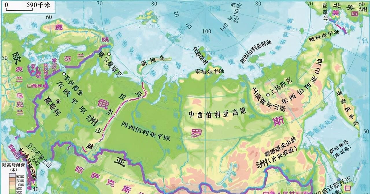
Located in the northern part of Eurasia, With a total area of 17,098,200 square kilometers, Russia is the largest country in the world and far ahead of Canada, the world's second largest territorial power.
Canada's total area is 9.98 million square kilometers, which is 7.1182 million square kilometers smaller than Russia, which is almost the size of an Australian. So Russia is really big, and it's normal that Russia has a larger territory than any other country on the world map. But in some world maps, Russia is particularly large and exaggerated.

In this world map, Russia's territory is even larger than that of Africa as a whole, when in fact, Africa has a total area of 30.2 million square kilometers, which is much larger than Russia. In fact, not only Russia, Canada, Greenland, the United States Alaska territory, is also very exaggerated. Canada and Greenland are about the same as Africa, and Alaska is even half the size of the continental United States. So what's going on?
It all starts with one person. This man's name was Mercator, and he was a very famous cartographer. Mercator was born in 1512 in the then Dutch province of Flanders, so mercator is generally considered Dutch. However, because Mercator is too famous and an epoch-making figure in the history of map development, there are still some controversies about Mercator's nationality.
There are three disputed countries, the first of which is the Netherlands, after all Mercator was born on Dutch soil at that time. The second was Belgium, when the Netherlands, Belgium, and Luxembourg belonged to a whole, called the Netherlands. Mercator was born in the province of Flanders and is now Antwerp, Belgium's second largest city.
The third is Germany. Because Mercator's parents were both German, he later moved to the Netherlands. Mercator grew up in Flanders and graduated from the University of Louvain, the best university in the Netherlands at the time, laying a good foundation in mathematics, astronomy and geography.
After graduating from university, Mercator continued to stay in the Netherlands to study geography, geodesy, and began to draw maps, make globes, and gradually grew into a famous cartographer. But when Mercator was young, he did not make much progress, until 1552, after the 40-year-old Mercator moved to Germany, invented the map projection method, and became a sensational cartographer in the world at that time. So Mercator's main contribution was also done in Germany, and for these reasons Germany regarded Mercator as a German and chose him as one of the 100 great Germans. So how important is Mercator's map projection?
The so-called map projection refers to the method of transferring the longitude and latitude lines of the earth's surface to a plane. The earth is a spherical shape, and the map is flat, so the projection method is very important to draw a map. Mercator's time coincided with the early days of the Age of Discovery, and Mercator maintained close contact with navigators of various countries, constantly drawing and perfecting new maps of the world based on the latest geographical discoveries.
In the process of contacting navigators everywhere, Mercator found that these navigators had difficulty drawing their routes in the process of sailing, because the earth was a circular sphere, and the meridians converged like orange petals at the north and south poles. So how do you visualize the spherical surface on a flat surface so that navigators can represent the course in a straight line?
Eventually, mercator invented the isometric tangent cylindrical projection method through research, drawing the surface of the earth to a flat surface. In this way, navigators everywhere could draw route maps in straight lines on the plane, which greatly facilitated navigation, thus causing a sensation in the world at that time, and Mercator became a landmark figure in the history of cartography. Later, this projection method was called the Mercator projection method, which was widely used in the drawing of charts, but the sea chart drawn using the Mercator projection method also had a disadvantage, that is, it was used best in the middle and low latitudes, but it was not used well in the high latitudes.
This is because the specific steps of the Mercator projection method are to imagine a cylinder that is consistent with the direction of the Earth's axis, cut or cut the earth, and then project the graticule into the cylindrical plane according to isometric conditions, and finally flatten the cylindrical surface to complete the map projection. This results in a particularly severe stretch of the map at high latitudes, with very large deformations. Therefore, in the Mercator projection map, the territory of Russia, Canada, and Greenland in these high latitudes is very distorted, and Russia's territory is even larger than that of Africa. Since then, with the development of map drawing methods, a variety of projection methods have emerged, but as long as it is a projection method, there will be more or less distortion, and until now, the world map using the Mercator projection method is still relatively common.