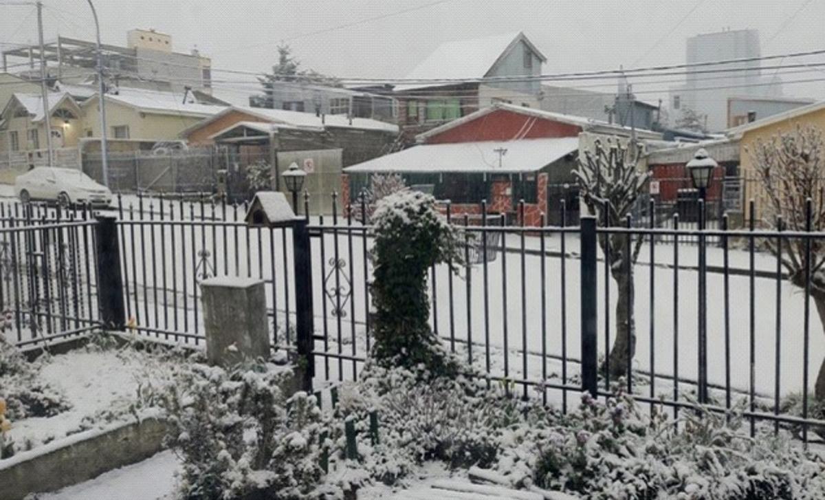
According to Argentine media reports, since this week, a rare and huge cloud stretching for more than a thousand kilometers has begun to seriously affect the southern region of Argentina, located on the southwest coast of the Atlantic Ocean, forming a rare spring blizzard weather in the southern hemisphere in the southern province of Tierra del Fuego, and causing stormy weather in many parts of the country in the south-central part of the country.

△ Image source: Argentine newspaper El Naís website
Argentina's meteorological department said the cloud, which is mainly composed of dust and ice crystals, formed near Antarctica and covers an area of more than 610,000 square kilometers, and its origin is related to the intensification of global abnormal weather. The meteorological department predicts that the cloud will continue to advance toward northern South America and will soon reach the skies over Uruguay, with limited impact on Brazil. The precipitation brought by the cloud is limited to the Atlantic coastal areas and has little effect on alleviating the dry weather in Argentina's inland agricultural areas.
The report on the impact of climate on agriculture released by the Grain Exchange of Buenos Aires in Argentina on the 25th said that since the beginning of this year, the country's main agricultural production areas have continued to drought and the drying up of important domestic grain waterways has not improved. In addition to the recent large-scale sandstorms in central Afghanistan, the rare hot weather in the capital and many provinces in the north-central region for nearly 60 years, and rare clouds have increased the risk of disaster in coastal areas. According to meteorological forecasts, in the next few months, the adverse impact of abnormal weather on agricultural production in Afghanistan will not improve, and it is expected to ease up until August and September 2022.
Source CCTV News Client
Editor-in-charge Wang Lixuan
Proofread by Yuan Xi
Editor Zhang Ming