Tip: The vast majority of the Hindu Kush Mountains are located in Afghanistan, and the Pashtuns living in poor mountainous areas yearn for the prosperity of the plains, which will invisibly "help" the people from the north of the Hindu Kush Mountains and south through the Khyber Pass. With this geographical condition, the "Mountain of Killing Indians" is also worthy of the name.

The Hindu Kush Mountains are the tallest mountains in central Asia. It is about 1600 km long. The average altitude is about 5000 meters, and the highest peak, Tirichmere Peak, is 7690 meters above sea level. Most of it is located in Afghanistan, the watershed between the Indus and Amu Darya rivers in Central Asia. That is, the rivers that originated from this mountain, some flowing to Central Asia, some to the Indus Plain, and different flows led to different results.
It is well known that the Indus River Plain is located between India and Pakistan, most of the area is the vast Thar Desert, and the irrigated agriculture along the Indus River is developed and is one of the main population concentration areas in Pakistan. It is an economically developed region of Pakistan with fertile soil. But this is not the case in the Amu Darya Valley.
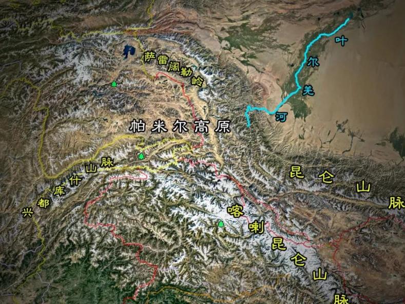
The Amu Darya River is the largest inland river in Central Asia, one of the two major water sources of the Aral Sea, originating from alpine glaciers at an altitude of 4,900 meters in the southeast of the Pamir Plateau. The Upper Source Wakhir River is located in Afghanistan, flows from east to west, and after merging with the Pamir River, it becomes the boundary river between Afghanistan and Tajikistan, and is renamed the Wakhan River. After that, it first turns north and then south, continues to flow west, and is called the Bachi River from the bend. The Vakhsh River from Tajikistan was received from the right bank before it became known as the Amu Darya River. It continues westward along the border between Afghanistan and Tajikistan, passes through the borders of Afghanistan and Uzbekistan, Afghanistan and Turkmenistan in turn, turns northwest into Turan and other places in Turkmenistan, winds along the border between The Kyzylkum Desert and karakum Desert, and winds through the border between Uzbekistan and Turkey, and enters the Aral Sea near Muynak in Uzbekistan.
Because of the geography and climate of the Amu Darya River Basin, the area of arable land is limited, most of which can only graze livestock, and it cannot support many people, so it is relatively difficult to catch up with the Great Indus Plain. Although, historically, the Amu Darya River has been known as the dividing line of cultures: in the 3rd century, it was zha da and Iran, and later it was Turkic and Iranian, which was clearly distinguished. But this distinction is, after all, very limited, and the peoples from the East and the West will choose the largest and most important mountain pass in the Hindu Kush Mountains, the Khyber Pass, which will pounce on ancient India.
It should be noted that ancient India or ancient India is not what people call India (modern India) today, it is the concept of the South Asian subcontinent, a large peninsula-shaped land south of the Himalayas, a southern extension of the Asian continent, many, many small countries, and the Khyber Pass is on the side of the Hindu Kush Mountains near the Himalayas. After crossing this mountain pass, you can go to the Indus Plain, the Ganges Plain to enjoy the riches there. Historically, the pass has been crossed by Indian Aryans, Iranian Aryans (Persians), Greeks, Mongols and Afghans.
Why are there Afghans? Let us first turn to the concept of Afghans, which refers to the entire population of the Central Asian country of Afghanistan. It contains more than 30 ethnic components, of which Pashtuns are the majority, the rest are Tajiks, Uzbeks, Hazaras, Chahar Aymac, Turkmen, Baloch and so on. Most of the ancestors of these people came from Central Asia, and due to frequent population movements, the peoples of various ethnic groups influenced and mixed with each other, resulting in today's complex ethnic situation.
However, Afghans also refer specifically to the Pashtuns, or Patans, who live in Afghanistan. It is mainly distributed south of the Hindu Kush Mountains and is divided into two major branches: the Durrani and the Gilzai. It belongs to the Indo-Pamir type of the Europa race. The Pashtuns believe they originated in Afghanistan and are descendants of a common ancestor. Some tribes migrated from Afghanistan to Pakistan in the 13th and 16th centuries. Why move to Pakistan? The reason for this is also very simple: the vast majority of the improvised Kush Mountains are located in Afghanistan, and the Pashtuns living in poor mountainous areas yearn for the wealth of the plains, which will invisibly "help" the peoples from the north of the Hindu Kush Mountains and south through the Khyber Pass. With this geographical condition, the "Mountain of Killing Indians" is also worthy of the name.
Today, when we talk about this, we also overlook a mountain called the Suleiman Mountains, in the central part of Pakistan, in the eastern part of the Iranian plateau. Slightly curved. It stretches from the Gumal River in the north to the north of Jacob Abad in the south, and is 450 km long. The mountain descends from north to south, with an average altitude of 1800-2100 meters. Although the average altitude is not very high, the descent from north to south gives the mountain the power to "swoop" to the south. Historically, it was the Pashtuns who lived in the mountains, of course, there were also shadows of the Shuanda, The Moon, the Greeks, the Persians, the Aryans, and the Mongols, and from here to the southeast, "killing the Indians" was not a problem.
Speaking of which, some people may ask: in addition to the Khyber Pass, there are many mountain passes in the Hindu Kush Mountains, such as the Taura Pass (4500 meters), the Hawak Pass (3500 meters) and the Sibar Pass (2987 meters), which are important traffic arteries, so why not guard them? On the one hand, it is because the altitude is too high to be defended; on the other hand, it is determined by the topography of the mountains, that is, it is difficult for the people living in the mountains to form the concept of a whole country, and the mountains are very poor, and everyone in the river valley sometimes cannot even solve their own survival problems, who has the heart to guard these mountain passes? So it makes perfect sense that the Hindu Kush Mountains are called the "Mountains of the Killing Indians" – it is a nature for human beings to compete for rich lands, and because of this nature a force that is nearly primitive and barbaric will erupt, that is, people have nothing to worry about. In the old Chinese saying: the barefoot is not afraid to wear shoes.
The pictures in this article are from the network, thanks to the original author!