The distribution of islands around the world is very uneven, with some places densely distributed and some places not having a single island. Let me now turn to the distribution of islands around the world.
In general, the islands of West Asia, the african coast, the west coast of the Bay of Bengal, the southwestern part of Australia, the Pacific coast of the American continent, and the east coast of South America are relatively sparse, while the islands are densely packed along the Arctic Ocean coast, the European coast, southeast Asia, the west coast of the Pacific Ocean and the Caribbean coast. In the last issue I said where the world's islands are concentrated, and in this issue I will list which countries are densely populated and why the islands of these countries are so dense.
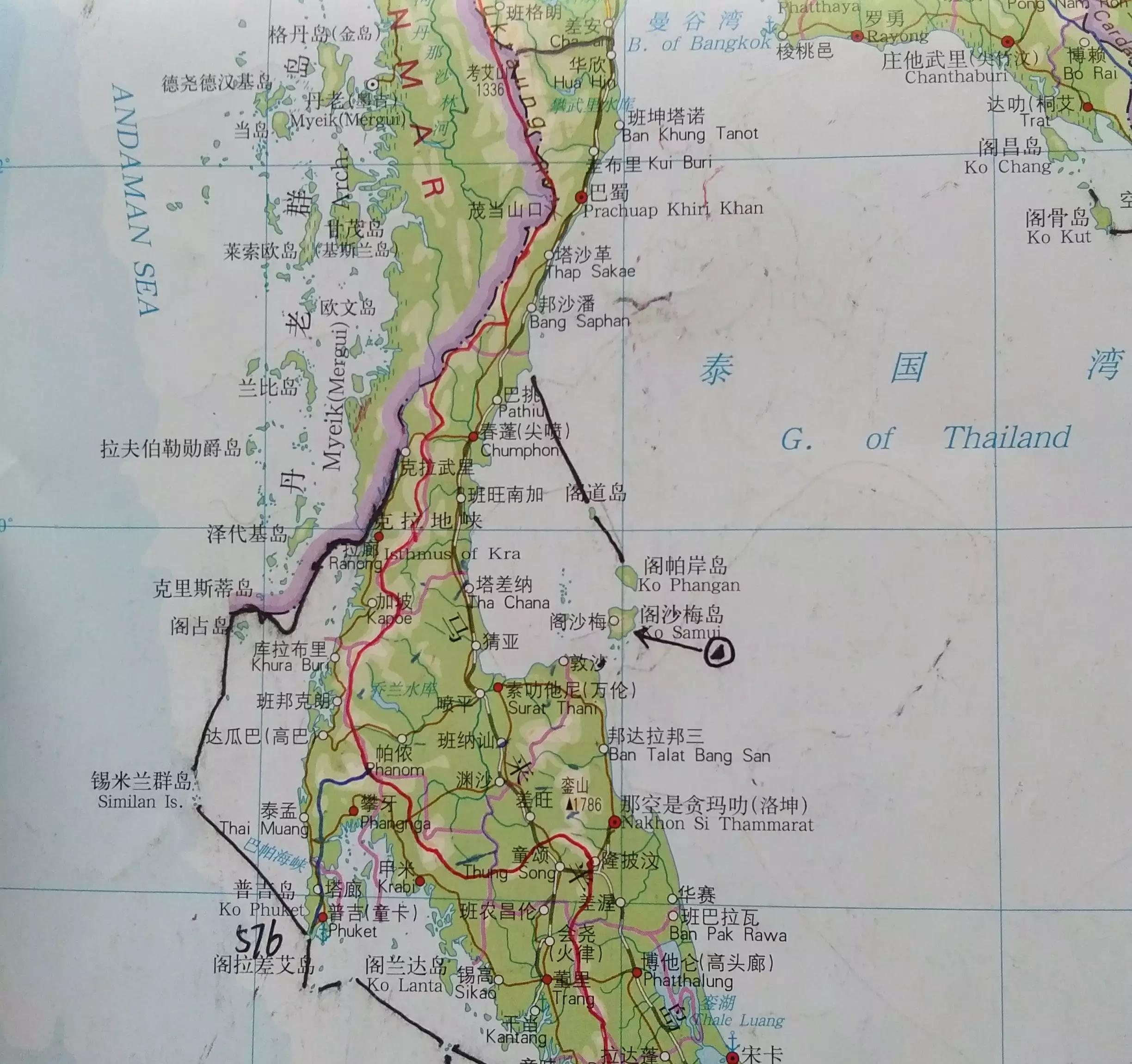
China's islands have the characteristics of few large islands and many small islands, and the islands with an area of less than 50 square kilometers are very rich, but there are only more than 20 above. The southeast coast of the continent is particularly abundant, and they are mostly remnants of the submerged peaks of the southeastern hills. There are a number of islands in the Changshan Archipelago and the Temple Islands, which, like the islands along the southeast coast, are the remnants of a flooded hill.
There are many islands off the west coast and south coast of South Korea, which are almost all extensions of the Chosan Mountains, but the foothills of the mountains are flooded by the sea.
The offshore islands of China, North Korea, and South Korea are flooded out of extensions of mountains and hills. What does this mean? The Bohai, Yellow and East Seas are all formed by crust subsidence.
As you may know, Japan is mountainous. But I tell you, the same is true of the coast, and Japan has so many islands because there are many volcanoes and peaks at sea level that emerge from the bottom of the sea. Japan is actually a whole mountainous area, but the foundation is more than 500 meters deep on the seabed, and Japan has so many excellent harbors, which is actually the valley of this mountain. Therefore, even if There are plains in Japan, they are all washed out by rivers, and the arable land is narrow and the resources are very scarce. In particular, there are countless islands in the Seto Inland Sea.
Vietnam's Halong Bay is a tourist attraction and a World Heritage Site, with countless islands of all sizes. So, why are there so many islands in Halong Bay? Look to the north of the topographic map—oh, it turned out to be a hill. In addition to the two deltas of the Red River and the Mekong River, the rest of Vietnam is mountainous and hilly, and their extension at sea forms numerous islands.
I figured it out in an instant: the coast is mountainous and extended, and where the sea is shallow, the sea surface is often islanded. These islands belong to the mainland islands and are mountains or peaks that are submerged by the sea. I'll send a few more typical places.
The roots of the Malay Peninsula

Extensions of the Scandinavian mountains and the Manselkai hills were squeezed and sunken by Quaternary glaciers to form numerous islands
Mountainous terrain on the western side of the Balkan Peninsula.
The eastern extension of Owen Stanley Ridge is home to a large number of islands.
Along the coast of the Gulf of Alaska is the Cordillera Mountain System, and the northern part of the Coast Mountains is submerged on one side to its densely packed islands.
Like the previous one, southern Chile has a large number of islands due to the flooding of the coastal mountains.
So, is there something else gone? Don't say anything else. [666]
Indonesia and the Philippines, the two countries also have many islands, adding up to more than 22,000. But this is not the reason for this, which is the influencing factor of the number of islands in their local area. There are more important ones.
The observant will find that Sumatra, Java and Nusa Tenggara are lined up in a row. Similarly, the Mindawi Islands, the South-West Islands, the South-East Islands (maluku Islands branch), and the Sanyih Islands are also arranged in a single line. On the island of New Guinea, the main body of The Mauk Mountain - Central Hill - Owen Stanley Ridge, are all on a line, and the Bird of Paradise Peninsula is also mountainous, with a valley between it and the main body, which happens to run parallel to the southeastern islands. Flip through the topographic map and you'll see that this is basically true. What does that say? The archipelagos and mountains mentioned above are squeezed out of the plates! There are also some similar examples, they are all parallel to the plate boundary, the formation principle is the same.
South Sandwich Islands
Another reason is that some of their islands move away from the continent in relation to the continent. This often results in a sea or strait in the middle being deep and a similar coastline on both sides of the strait. Such as Kalimantan and Sulawesi, the continental shelf off the coast of Vietnam and the Philippine archipelago. This is an indirect reason for the number of islands, which are easy to form large islands, and the formation of many large archipelagos in the world is related to this cause.
The northern coast of the island of Ireland and the eastern shores of the Irish Sea
This is the Arctic archipelago, with large islands lined up, and many of the islands have very similar coastlines.
The Greater Antilles isthmus next to the Central American Isthmus
Tierra del Fuego is also parallel to the American continent and the coasts on both sides of the Strait of Magellan.
After reading this, have your knowledge soared? The above summarizes 3 reasons why a local mainland island is dense.
1, there are mountains and hills next to them, they are an extension of mountains and hills, and the islands are also steep and mountainous, close to the mainland.
2. The product of the squeeze and lift of the plate, but the foot of the mountain does not show the sea surface.
3. Affected by crustal tension, separated from the mainland, and hindered during the movement, settling and fragmentation.
If an archipelago does not meet the above 3 conditions, most of the islands contained in it are not mainland islands. Friends, if there is a special case though to share in this. We'll see you next time