Top News Henan Business Daily trainee reporter Yang Xiao text/photo
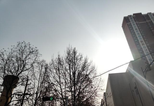
Yesterday the sun was shining, today the sun is still shining, and the sun has melted itself into the sky. But today does not continue yesterday's warmth, a new round of cold air has arrived.
Next week, the temperature in Henan rises and falls slowly, with heavy winds and snowfall, and heavy snow in local areas.
In the next three days, the temperature in our province will rise slightly, and precipitation is scarce
Today is the last day of Sanjiu, according to the Henan Meteorological Bureau, today's temperature of 11 noon to compare, the central and western regions and the northern parts of the decline compared with yesterday about 6 ° C, local 8-9 ° C.
In the next three days, the temperature in our province will rise slightly and precipitation will be scarce. Today through January 19, the temperature in the province is slowly rising.
From January 20 to January 22, under the dual influence of cold air and rain and snow, the maximum temperature in our province plummeted from north to south, and the maximum temperature in the northern part of the Huai River was around 0 °C.
Due to the lack of clouds at night, radiation fog has formed in some areas. From this night to the early hours of tomorrow morning, there is fog in parts of the southeast, and there is thick fog in the local area. From the early morning to the morning of January 18, there was fog in the southeast.
Cold air is accompanied by strong winds. Affected by cold air, from the night of January 18 to 19, the northerly wind in the province is 4 to 5, and the northern central gust is about 7.
On the night of January 19, the western and southwestern parts of our province will turn to sleet or light snow, and a new round of large-scale rain and snow weather from west to east will unfold.
Next Thursday the "Great Cold" will meet the rain and snow weather local heavy snow
On January 20, the last of the twenty-four solar terms, "Great Cold", the western and northern parts of our province turned from sleet to moderate snow, of which there was heavy snow and local blizzard in some parts of the west, and light rain or sleet in other areas.
Like the little cold, the big cold is also a solar term that indicates the degree of coldness of the weather. Folk proverb cloud: "Small cold, big cold, no wind to cool." ”
The Great Cold is an extremely cold season in the traditional solar terms. In some parts of our country, the big cold is not as good as the small cold. Specific to this year's Zhengzhou, xiaohan is January 5, the temperature is 0 °C to 5 °C, according to the weather forecast of Zhengzhou Meteorological Bureau, the temperature of this year's big cold is -2 °C to 1 °C, and the big cold will be colder than the small cold.
From January 21 to January 22, there was moderate rain south of the Huai River, and there was light to moderate snow or sleet in other areas, including heavy snow and local heavy snow in parts of the central and western regions.
Zhengzhou weather forecast for the next seven days
The end of March 9, starting next week into the April 9 period, this period of cold is still the protagonist of the proper, please pay attention to the general public friends to keep warm and cold.
The following is the weather forecast for the next seven days in Zhengzhou:
Monday, January 17: Cloudy -3 to 8°C on a sunny day.
Tuesday, January 18: -3 to 12°C on a sunny day.
Wednesday, January 19: Cloudy on a sunny day, with a northeast wind of 3-4 -2 to 6°C.
Thursday, January 20: Cloudy, northeast winds of magnitude 3-4 -2 to 1°C.
Friday, January 21: Sleet turns to light snow -2~1°C.
Saturday, January 22: Light snow, northeast winds 3-4 -1 to 1 °C.
January 23 (Sunday): Light snow turns to light rain, northeast wind 3-4 0 ~ 1 °C.
(Edited by Xiong Ziwen and Liu Mengge)
![The European Commission announced its decision to expand the range of available spectrum for 5G[fig]](data:image/gif;base64,R0lGODlhAQABAIAAAP///wAAACwAAAAAAQABAAACAkQBADs=)