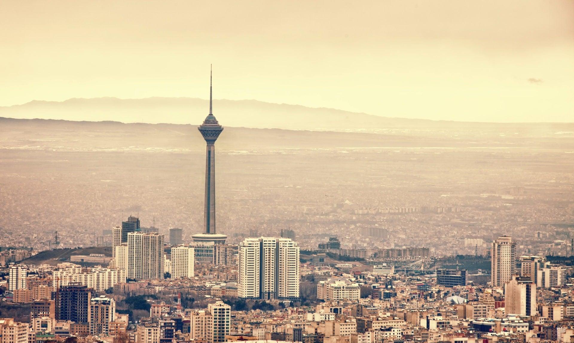
Tehran is the capital of Iran with a population of 13 million (including the surrounding satellite cities) and the most densely populated city in Iran and West Asia! Its history is very long, it is said that the earliest dates back to 6000 BC, and it has a long history!
But such a long history of the ancient city of Tehran, but is sinking, satellite monitoring data found that Tehran's sinking rate is very alarming, and now it may be too late to remedy!

Satellite monitoring data suggest that Tehran is sinking
From Tehran to the southeast of the Wallamine Road, out of the suburbs of the roadside farmland, from time to time you can see the collapsed giant holes, some even appear in the middle of the road, obviously see the traces of landfilling, and some in the village!
In fact, not only the suburbs, but also the ground that has not been treated during the construction of many infrastructure in Tehran City has also sunk and cracked, and the gap between the ground and the road is even more than 50 centimeters, the underground sewage pipe is broken, and the smelly water flows, which is shocking!
Geologists can see at a glance that such a large-scale area shows that the ground in Tehran is sinking, but how serious is it, Mahdi Motagh and Mahmud Haghshenas Haghighi, earth scientists at the Earth Science Research Center in Potsdam, Germany, surveyed satellite telemetry data in the Tehran region from 2003 to 2017!
The results revealed an astonishing fact that there is settling at Tehran International Airport, with a sinking rate of about 5 centimeters per year! The western plains of Tehran are settling at a rate of 25 centimeters per year, and the Varamin region in southwest Tehran is also settling at a similar rate, which is a frightening rate!
From 2003, when the data was first sampled, to 2017, in just 14 years, the Tehran region has settled about 3.5 meters in general! Roberto Tomás, an engineer at the University of Alicante in Spain, said: "Tehran has one of the highest rates of ground settlement in the world".
Mahdi Motagh said that about 10% of the city center of Tehran has been affected, satellite towns in the southwest of the city have been severely affected, the roads in the city center are bumpy, the roadbed and buildings are displaced, and the walls are crawling with cracks, some of which can no longer be repaired and must be demolished!
In the land southeast of Tehran, a huge crack of 4 kilometers long and 4 to 5 meters wide has been cracked, and a farmer near Varamin in southeast Tehran has fallen into a crack up to 6 meters deep, fortunately, someone has found him, otherwise his life would be in danger! Cultivating on such land is almost impossible to irrigate, because ground cracking will cause water to penetrate directly into the cracks, and crops will not have time to absorb it!
What is the reason for Tehran's sinking?
The causes of ground subsidence in Iran are not complicated, and the excessive extraction of groundwater leads to the overall collapse of the ground, somewhat similar to the coal mine goaf in Shanxi, a major coal province in China, but the process of formation and solution is very complicated, and it is generally believed that there are the following factors:
The goaf area of coal mines in China collapsed
Topography of Tehran
Tehran is short of water, so it will pump groundwater, but Tehran is less than 100 kilometers away from the Caspian Sea in a straight line, so it is reasonable to say that there should be no shortage of water? But the whole of Iran is located on a plateau, while the central part is a plateau basin surrounded by high mountains, the Alborz Mountains in the north, the Zagros Mountains in the west, the Suleiman Mountains in the east, and Tehran is located near the northern end of the Alborz Mountains, about 1200 meters above sea level.
Tehran's highland basin, blocked by high mountains from east to west, south and north, is a very arid region with annual rainfall of no more than 200 millimeters, and the establishment of a super-large economic and administrative capital in such an area is a rather ill-conceived result.
Tehran's population is rapidly expanding
In fact, as long as the scale is controlled and the ecological balance is taken into account, sustainable development can still be achieved, but in the past 100 years, Tehran has grown from a small city to the largest city in West Asia with a population of 13 million, and the rapid expansion of urban construction, industrial and urban landscapes, and water use for residents have put heavy pressure on this semi-arid region!
Night view of Tehran
Since the 2000s, Iran has experienced droughts for more than a decade in a row, and according to the Food and Agriculture Organization of the United Nations, Iran has experienced the longest drought in the past decade, with about 97% of the country experiencing severe water shortages!
In addition to industrial and residential water, there is a large household is the rapid development of agricultural and animal husbandry water, in order to cope with the explosive growth of Tehran's population, the agricultural development in the plateau basin is very fast, a lot of vegetation covered land has been reclaimed for farmland, and the irrigation technology is backward, the water consumption is extremely large, and the effective irrigation water is very small, most of it is wasted!
U.S. sanctions are also important reasons
Since the 1979 Islamic Revolution overthrew the regime of the "pro-American" Pahlavi shah, relations between the United States and Iran have fallen to a freezing point, and more than 40 years of sanctions have weakened Iran's economy, Iran wants to feed its people during the sanctioned period, so larger agricultural development has also put more pressure on water supply.
One statistic can illustrate how serious the problem is: the number of wells around Tehran increased from 4,000 in 1968 to 32,000 in 2012, while the groundwater table in Tehran fell by 12 meters between 1984 and 2011.
The fall of Tehran, perhaps too late!
Tehran's ground settlement rate is so high that geologists have begun to worry that Tehran and the surrounding cities are about to face collapse, because the ground subsidence, buried water pipes, drainage pipes, cables, subways and pipelines and even subways, natural gas pipes, etc., will be stretched until deformation and fracture, and eventually these underground pipe networks and subways will eventually fail due to ground settlement.
Once a city loses this infrastructure, the results may be unbearable, and Tehran's settlement will exceed 1/4 meter per year, and in just a few decades, it will reach the limit of deformation of these underground facilities, when these systems collapse one by one, and the Iranian government will face the problem of collective relocation.
How does China solve the problem of coal mine goaf areas? Backfilling and relocation, of course relocation is simple, just extremely costly! But how to deal with backfilling? Coal mine backfilling is generally grouting backfilling is more convenient, but can groundwater over-extraction be backfilled? According to geologists, some of the ground subsidence around Tehran can be mitigated by hydration, but more areas can never be recovered!
The first major event of the twenty-first century, the world watched Tehran "sink"!