1. Overview
In the Internet information age, GIS data can be obtained from many channels, and due to the diversification of data sources, the data obtained is also organized in a variety of ways, which may be various forms such as dots, lines and surfaces. When using data, there may be cases where the required data and the obtained data are organized differently, and it needs to be processed before use. Here, take arcGIS midpoint line surface intervolution as an example to introduce the transformation of the way data is organized.
2. Data Acquisition
The data used in this tutorial is the county boundary data downloaded by the Water Injection Universal Map Downloader, in addition to the county boundary data, common vector data can be downloaded from the Water Injection Universal Map Downloader.
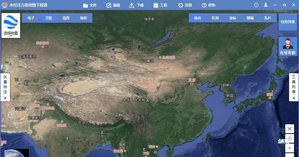
Water Injection Universal Map Downloader
(Private message reply "Downloader" to get universal map downloader software installation package)
3. Point feature to line feature
Load the point data into arcmap, as shown in the following figure.

Boundary points
Click "Data Management Tools\Features\Point Set To Line" in ArcToolbox to invoke the Point Set to Line tool, as shown in the following figure.
Invoke the Point Set To Line tool
Select the boundary points for the input features in the Point Set to Line dialog box that appears, set the output features, and click OK to start the conversion.
Point set to line settings
After the conversion, you can see that the points are connected together, resulting in line features, as shown in the following illustration.
The resulting line
4. Point features turn polygon features
Since ArcMap does not have the function of direct point turn surfaces, the line turn surface generated in the previous step is used here.
Click "Data Management Tools\Features\Features to Polygons" in ArcToolbox to invoke the Feature To Polygon tool, as shown in the following figure.
Invoke the Feature To Polygon tool
In the Feature To Polygon dialog box that appears, select the previous step to generate a line file, set the output feature class directory, and click OK to start the conversion.
Feature to polygon settings
After the conversion is complete, you can see that polygon features are generated, as shown in the following illustration.
The resulting polygon feature
5. Line features turn point features
Click "Data Management Tools\Features\Feature Vertex To Point" in ArcToolbox to invoke the Feature Vertex To Point tool, as shown in the following figure.
Invoke the Feature Vertices To Points tool
In the Feature Vertices To Points dialog box displayed, select the bounding line for the input features, set the output feature class, and click OK to begin the conversion.
Feature vertex turn point settings
After the conversion is complete, you can see that a new point feature layer has been generated, as shown in the following illustration.
The resulting point feature
6. Line features turn polygon features
In the Feature To Polygon dialog box that appears, select the bounding line for the input features, set the output feature class, and click OK to start the conversion.
The resulting polygon
7. Polygon features turn to point features
In the Feature Vertices to Points dialog box that appears, select the bounding polygons for the input features, set the output feature class, and click OK to start the conversion.
After the conversion is complete, point features are generated, as shown in the following illustration.
The generated point
8. Polygon features turned to line features
Click "Data Management Tools\Features\Features to Line" in ArcToolbox to invoke the Feature To Line tool, as shown in the following figure.
Invoke the Feature To Line tool
In the Feature To Line dialog box that appears, select the bounding polygon for the input features, set the output feature class, and click OK to start the conversion.
Feature to line settings
After the conversion is complete, you can see that the line features are generated, as shown in the following illustration.
9. Conclusion
The above is a detailed description of the dotted line polygon transfer in ArcGIS, which mainly includes data acquisition, point feature to line feature, point feature to polygon feature, line feature to point feature, line feature to polygon feature, polygon feature to point feature, and polygon feature to line feature.